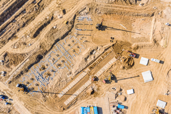
Drones can provide a much more accurate and useful view than you can possibly get from standing on the ground. Before drones, a company would have to use a plane or helicopter and hire a pilot to fly over an area to perform an aerial inspection, check agricultural crops, and observe construction sites. That method was extremely expensive and only sometimes delivered quality results. Using a drone is a cost-effective way to harvest a wealth of information you need to make critical decisions about your project. We can help you save money and get more information and data analysis than ever before.
Your investors like to know the status of the project. With our services, you can provide detailed visual reports. You can show the progress you make with a series of videos, photos and orthomosaic maps. Currently we are using Drone Deploy to provide a reliable platform to process our photos into 2D and 3D maps. Within Drone Deploy the maps can provide area, length and volume measurements. Files can be overlayed on the map so you can make sure your plans matchup with the current progress.
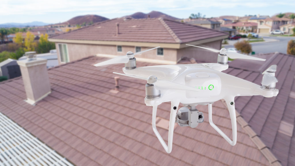
Companies that need to analyze cell phone towers and roofs can slash their inspection costs by using our drone inspection services. We can provide video and picture information as well as photogrammetry and thermography for you to analyze, or we can perform analyses and generate reports for you.